Both Linda Green’s 1984 Historic Resources Report for Joshua Tree National Park and the 1961 California Department of Mines and Geology report for Riverside County listed several mines in the Hexie Mountains as being so remote they were never visited. That really intrigued me, as seldom-visited mines bring to mind relatively undisturbed sites. Google Earth showed small sections of what once had been a road, though the Jinks (sometimes spelled Jenks) mine was said to date back to the late 1800’s. The Ruby Lee and Combination mines had never really been much more than prospects, so held less interest. I emailed the DzrtGrls and when Jamie got back to me that this was even a bit too remote for them, I was hooked.
The problem was getting there. I couldn’t figure out any good route in that was short enough for a day hike. All my routes seemed to be around 18 miles roundtrip. I emailed my research to Tom Mahood, who has a notoriously low threshold for stupid desert adventures in search of historic sites – the more remote and ridiculous the better. He bit and plotted a much better route than I had yet found. All of it would be cross-county. No roads or trails on this trip.
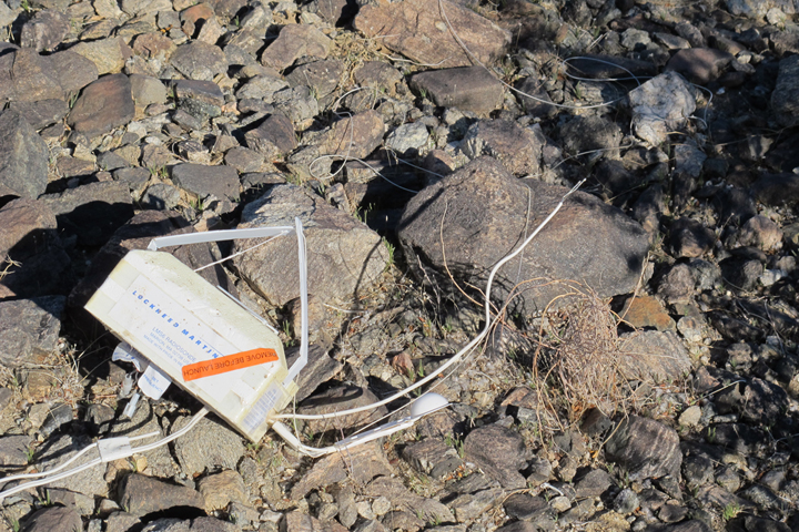
Two hours east of Riverside, we started from Pinto Basin Road at 0830 hiking up a rocky alluvial fan that was covered in ankle-buster rocks. Within a mile Tom spotted the parachute for a weather ballon radiosonde. Pretty cool. We marked the spot in our GPS’s to retrieve it on the way back. Within another mile we recognize a small section of primitive road and almost immediately spot a 55-gallon barrel, then a fire ring, a bed spring, some pots, etc. An old camp if the middle of friggin’ nowhere. Too cool. The day was starting out well.
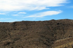
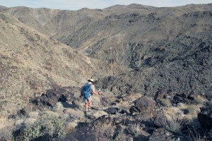
We finally got into the canyon and the going wasn’t too bad, though there were several sections of Class 3 scrambling where rockfall blocks the narrow canyon. The first had me thinking this was maybe not a workable route, but we made quick work of them and continued on. About three hours in we stopped for a bite to eat as we now had to climb out of the canyon. This is where the going got more intense. We huffed and puffed up several ridges before Tom, about 50 yards ahead of me yelled back, “I think I know where the road is.” When I got to the top I was stunned. Check out the photos. Quite an impressive section of road on a steep slope in the middle of nowhere. (Tom corrected me, in that we were more correctly on the edge of nowhere, having long since pass the middle.)
- Photo: P. McCurdy
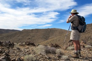
The old road, which has signifcant supporting rock work on the low side, can be seen as a horizontal slash below the far ridge, just left of Tom’s waist. The second pic shows a close up.
I dubbed this peak we were on Jinks Peak and the views were simply spectacular. San Jacinto Peak to the west (a small corner of San Gorgonio also visible), Quail Mountain to the north (we had been there the previous weekend with several others), Monument Mountain to the south, and some peaks in Nevada visible to the NE.
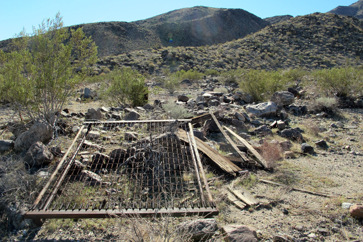
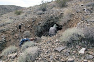
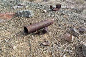
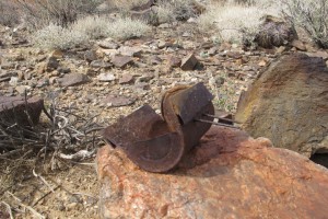
A short hike further took us to three actual mine shafts, about 5 other prospects, and what was left of the old camp. One shaft had a couple of boxes, a small bench, a makeshift stove and some wooden tent poles. Apparently they had been stashed there when the place was abandoned. The cans and some square nails at the main can dump date from before ~1910. Precious little glass up there, though. Several areas of rectangular sets of rock with guy wires tied to nearby rocks – looked like tent sites. Also a very curious, newerish-looking galvanized can that seemed to not fit in with the age of the rest of the stuff up there. No human tracks and no sign of anyone else having been there in the recent past.
After some exploration and a short break for calories, we were on our way out. The ridges we climbed up on the way in seemed quite a bit steeper going down on the way out, though we made good time once we were once again in the canyon bottom. Seven and 1/2 hours, 13 miles, 2,000 feet of elevation gain. The mid-seventies weather had us each drinking 3+ liters of water. One radiosonde, a camp in the middle of nowhere, a peak with spectacular views, and a cool remote mine and camp. It all seemed that much better when Tom found a BBQ/brewpub in Rancho Mirage on the way home. Beef brisket and microbrew were a fitting end to a long day of hiking.

