
May 30th, 2016
Watertown, NY
After the long coolish spring, it has finally warmed up and I had a four-day weekend for Memorial Day, so decided to get in some hiking. So, by this afternoon, I’ve hiked 11 miles and ran 4 miles this weekend. Not bad coming off a lazy winter where I got next to no exercise.
I have six ancestors buried in the Lowville/Martinsburg area, about 30 miles east of here. Germans and New Englanders who settled that area as early as 1808. The area is just to the north of the Tug Hill Plateau, which has the reputation of being the snowiest place east of the Rockies. I’m still trying to get my head around how people lived year round in a place like that with no electricity or running water. The plateau once had some farming within its boundaries, but the soil is poor for farming so it is now very sparsely populated and mostly forests, lakes, and streams.
So Friday I decided to hike up the Whetstone Gulf which is just a few miles south of Martinsburg. In drains off of the northeastern edge of the Tug Hill Plateau. I was a nice six-mile hike. Pretty, but lacking somewhat in vistas. I also discovering that New York hiking offers something almost unheard of in California: shade. I slathered on sunscreen before the hike but needn’t have bothered as I was in shade the entire time.
Entertaining sign on the North Rim Trail:

Sure you could fall 150′ into the gorge, but you’d have to be pretty inept to do so. Several years of hiking with Tom Mahood in California have reset my meter for what is dangerous.
View from the top of the gulf, with farmland to the east.

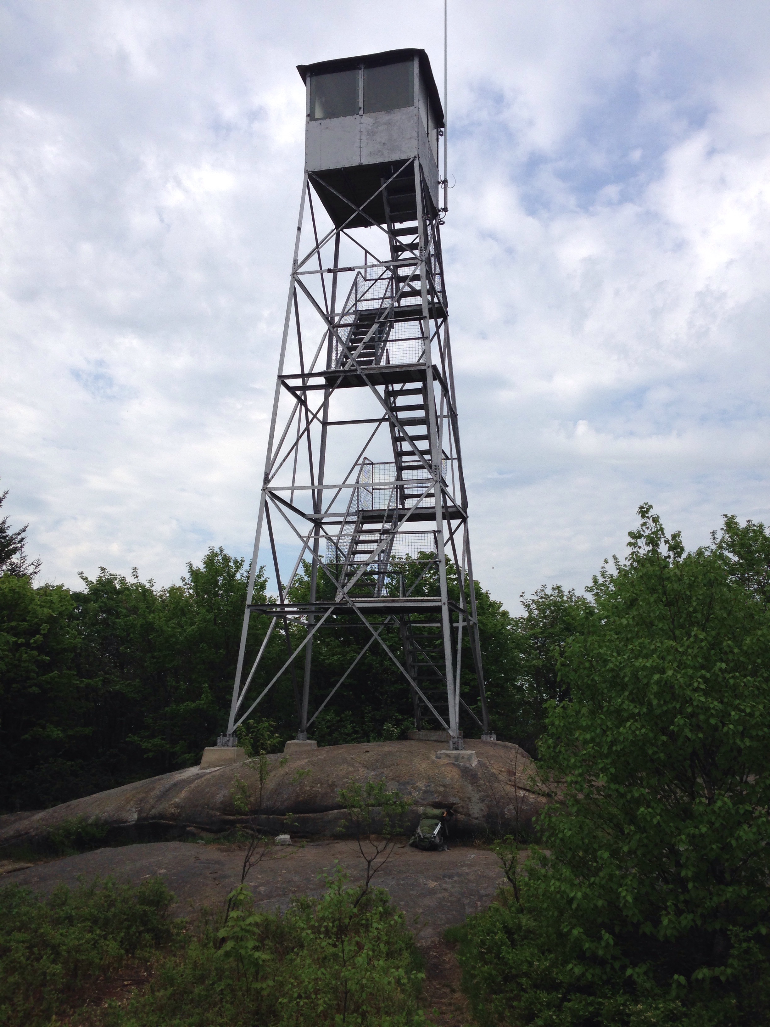
Saturday I ran a couple of miles and took care of errands around town, but Sunday I was off to the Adirondacks to do some hiking. I decided to do a couple of short hikes to historic fire towers.
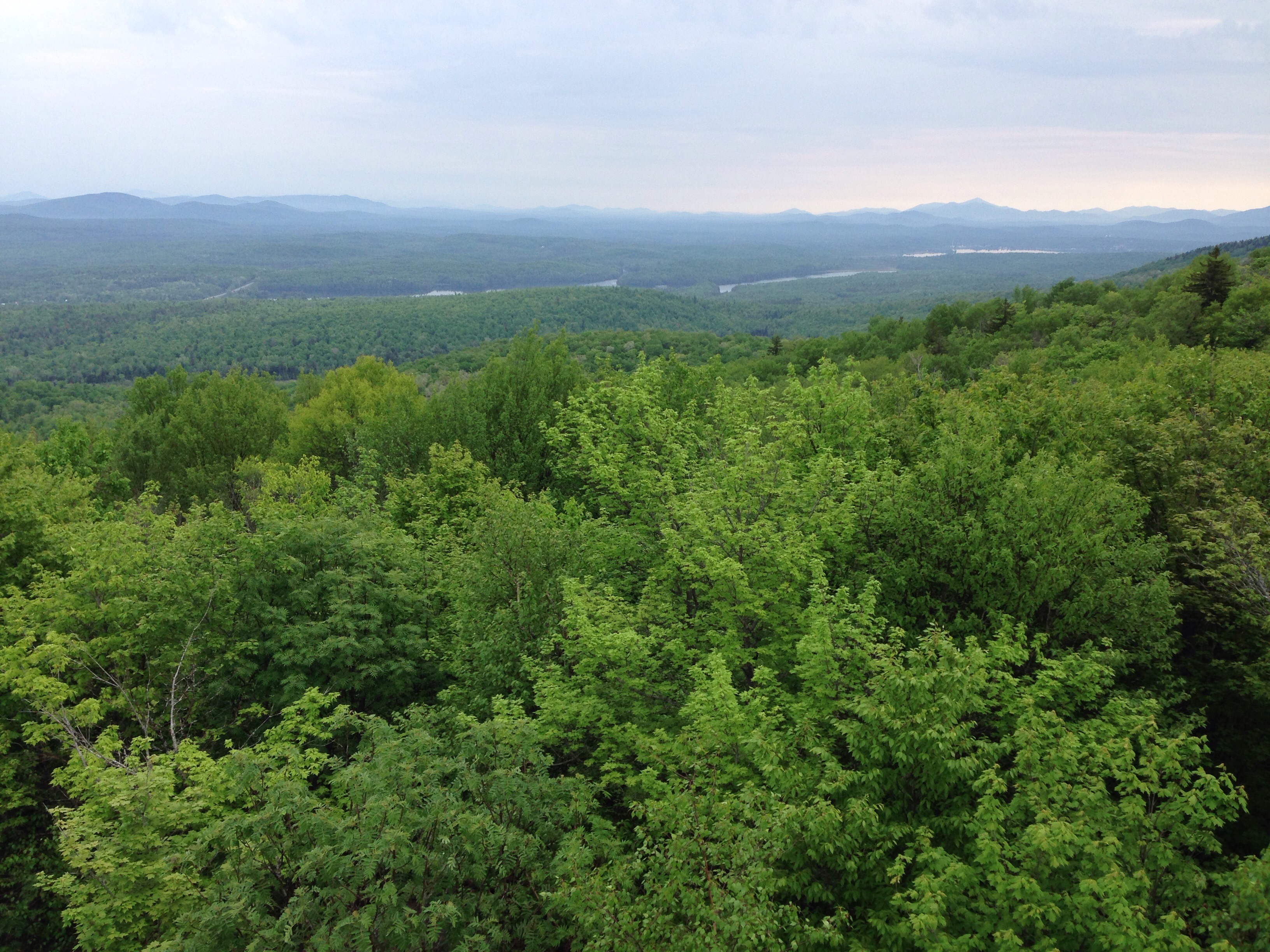
Mount Arab was a short (2-mile) if somewhat steep hike, though exceptionally well signed and the trail was luxuriously maintained. I’ve never seen wooden stairs on a wilderness trail.

The tower:
The view:
Cabin where the friendly elderly docent and his two huge and very friendly Newfoundland dogs spend their summer days:

I’m playing around with TripTrack on my iPhone. It records and uploads hikes, which can then be embedded in, oh, say…a blog post.
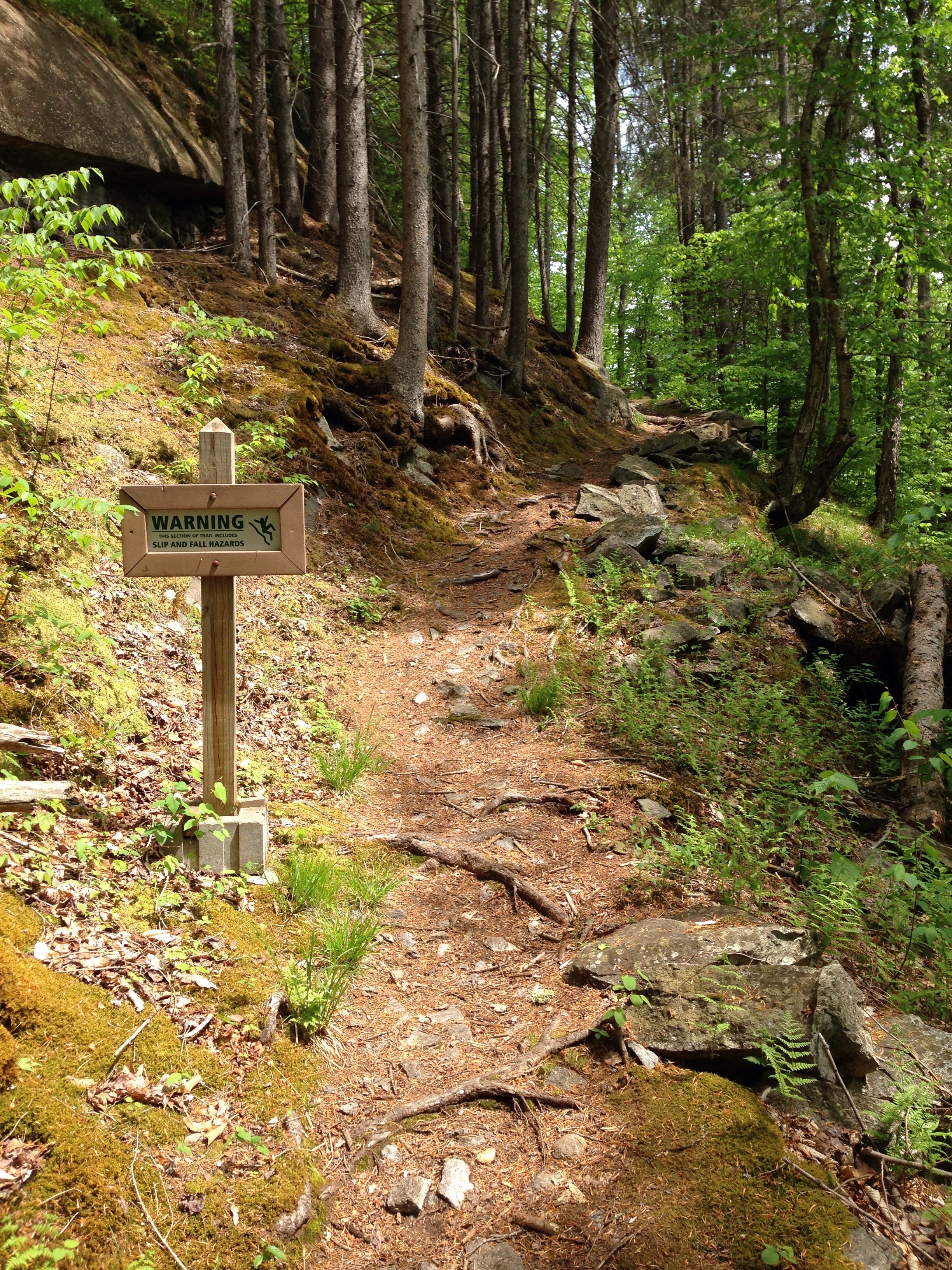
The second tower was about a 30-minute drive from Mount Arab. Castle Rock is near the SUNY Ranger School and the trail head was somewhat difficult to locate. I couldn’t find it at all and had to drive five miles back to NY State Route 3 to get cell coverage so I could look it up on my iPad. Even when I found the parking area I hiked around for 1/2 mile before finally locating the trail head. So this 2-mile hiked turned into 2.5.
My cell phone died, so only one pic of this hike. It’s hard to read, but the sign warns of slip and fall hazard. Which seems more than a little ridiculous on this beautifully maintained trail.
Notes on boundaries: As with a lot of areas in the country, there are different names here for various geographic features or political entities. A “town” here has no similar concept in California, but is roughly the equivalent of a township in the midwest, though without the precise square of 6×6 miles. What a Californian would call a town is here called a city or, if not incorporated, a village.
Notes on geographic features: A “gulf” here is what I would think of as a gorge, or small canyon. I don’t see “gorge” used much here. Another one is “heard path” instead of “use trail” for an unmaintained, unofficial, trail. Rather more descriptive than use trail, actually.